File:Cook chart of Otaheite.jpg
Jump to navigation
Jump to search

Size of this preview: 800 × 456 pixels. Other resolutions: 320 × 182 pixels | 640 × 365 pixels | 1,024 × 583 pixels | 1,280 × 729 pixels | 2,178 × 1,241 pixels.
Original file (2,178 × 1,241 pixels, file size: 1.16 MB, MIME type: image/jpeg)
| This is a file from the Wikimedia Commons. Information from its description page there is shown below. Commons is a freely licensed media file repository. You can help. |
Summary
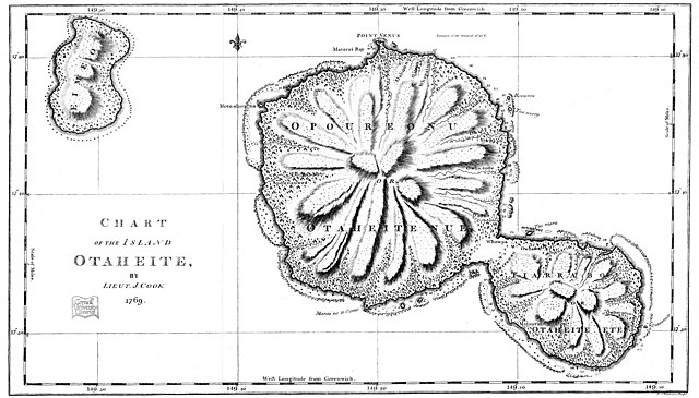
| Description | This is an facsimile of Lieutenant (later Captain) James Cook's 1769 chart of the island of Otaheite (today called Tahiti). |
| Date | Original created in 1769; this facsimilar published in 1893 |
| Source | Taken from the Project Gutenberg edition of Captain Cook's Journal, First Voyage, which is based on an 1893 publication of Cook's original manuscript |
| Author | |
| Permission (Reusing this file) |
It is in the public domain worldwide |
Licensing
|
This work is in the public domain in its country of origin and other countries and areas where the copyright term is the author's life plus 70 years or fewer. | |
| This file has been identified as being free of known restrictions under copyright law, including all related and neighboring rights. | |
File history
Click on a date/time to view the file as it appeared at that time.
| Date/Time | Thumbnail | Dimensions | User | Comment | |
|---|---|---|---|---|---|
| current | 01:58, 6 October 2021 | | 2,178 × 1,241 (1.16 MB) | McGhiever | Cleaner copy from Internet Archive (https://ia600205.us.archive.org/view_archive.php?archive=/24/items/cu31924029834946/cu31924029834946_cubook.zip&file=IMAGES%2F31924029834946_000150.JP2&ext=jpg) |
| 05:46, 15 September 2006 |  | 1,100 × 620 (138 KB) | Hesperian | {{Information |Description=This is an facsimile of Lieutenant (later Captain) James Cook's 1969 chart of the island of Otaheite. |Source=Taken from the Project Gutenberg edition of Captain Cook's Journal, First Voyage, which is based on an 1893 publicatio |
File usage
The following 2 pages use this file:
Global file usage
The following other wikis use this file:
- Usage on lt.wikipedia.org
- Usage on mk.wikipedia.org
- Usage on pl.wikipedia.org