File:JTA map of New England Coast, 1607.jpg
Jump to navigation
Jump to search

Size of this preview: 800 × 587 pixels. Other resolutions: 320 × 235 pixels | 640 × 470 pixels | 1,024 × 751 pixels | 1,280 × 939 pixels | 1,434 × 1,052 pixels.
Original file (1,434 × 1,052 pixels, file size: 548 KB, MIME type: image/jpeg)
| This is a file from the Wikimedia Commons. Information from its description page there is shown below. Commons is a freely licensed media file repository. You can help. |
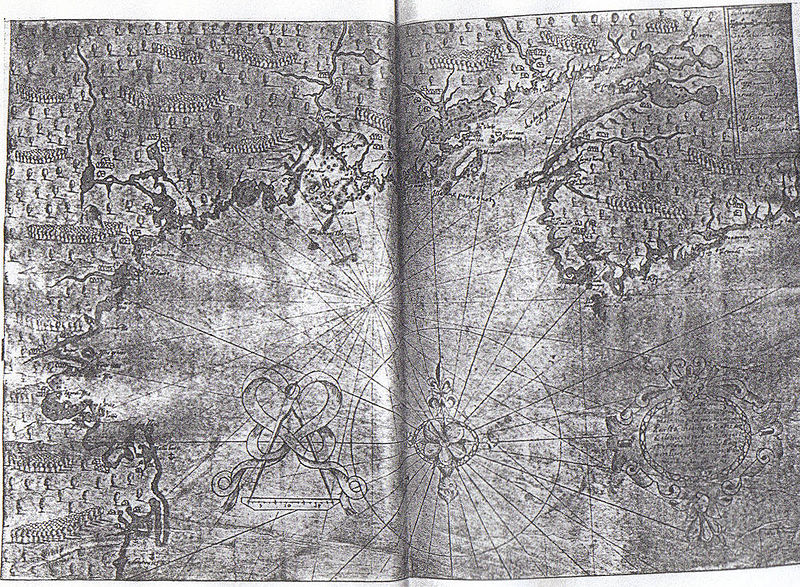
| Description | Manuscript Map of the New England Coast, 1607-8, from Wikisource:The Founding of New England, by w:James Truslow Adams | ||||
| Date | |||||
| Source | http://www.dinsdoc.com/adams-1-i5.htm The original document is in the Library of Congress | ||||
| Author | James Truslow Adams (for the book), map is believed to have been drawn by Champlain | ||||
| Permission (Reusing this file) |
|
||||
File history
Click on a date/time to view the file as it appeared at that time.
| Date/Time | Thumbnail | Dimensions | User | Comment | |
|---|---|---|---|---|---|
| current | 21:47, 1 February 2008 | | 1,434 × 1,052 (548 KB) | Quadell | {{Information |Description=Manuscript Map of the New England Coast, 1607-8, from Wikisource:The Founding of New England, by w:James Truslow Adams |Source=http://www.dinsdoc.com/adams-1-i5.htm The original document is in the Library of Congress |Da |
File usage
The following page uses this file: