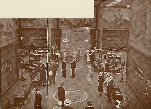
ELECTRICAL MAP
This huge mechanical map is fourteen feet high and twelve feet wide; it weighs over a ton; and has thirteen hundred and two electric lights and a push button for each of these lights. There are over three and one-half miles of wiring involved.
Ohio's 88 counties are shown in various tints and the small 3½" squares into which the map is divided are each equivalent to a township.
Twenty-eight hundred towns are shown and indexed—including villages down to population of only 8 or 10 people. Roads, rivers, lakes and points of interest are depicted and locatable from the two large indexes.
The five leading products of each county are shown in pictorial form as is also the net cash income from agriculture and the industrial payroll per county.
A printed pictorial map of Ohio along similar lines is given free to all visitors.
A vast amount of original research and compilation of fact from various sources is involved in these maps, and information is procurable through their use which would require perusal of many volumes, some of which are not at all commonly available.

