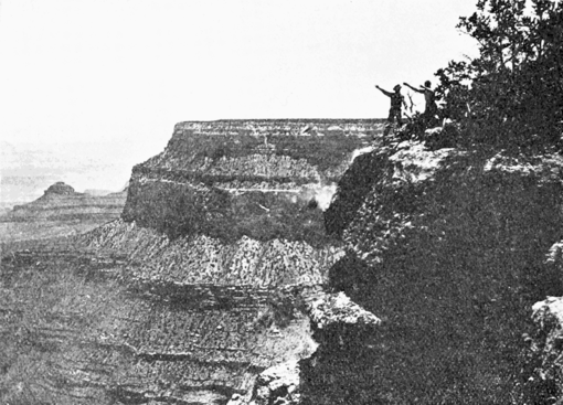
its six hundred feet of deep red cliffs, presents one of the most striking members of the landscape. The Red Wall constitutes the Lower Carboniferous of the region.
Then there is a terrace—'The Esplanade'—often several miles in width, composed of green shales and sandstones. It is the 'Upper Tonto' formation. It leads by gentle slopes to the brink of another precipice, which is formed by the quartzites and hard sandstones of the 'Lower Tonto.' The Upper and Lower Tonto are the local names of the formation composing the system known the world over as the Cambrian. Together they are about seven hundred feet thick. The Lower Tonto forms the capping of the inner canon in the Bright Angel region.

Below it are jagged, twisted, dark-colored metamorphic rocks, which represent the Archæan—the oldest system of rocks in the world. Tourists call these rocks 'granite,' but they are schists and gneisses. They are in layers and have been subjected to extensive folding. The river has cut through the Archæan rocks to a depth of over a thousand feet and produced walls so precipitous that in most places a sure-footed prospector could not cling to them. Between them the river runs with the greatest speed and fury.
The visitor may see all these formations from the upper rim, but as he descends to the river and passes them in succession, he obtains a clearer idea of their relations and characteristics. They are clearly differentiated by constitution, structure and color. A study of these various strata makes it evident that the topography of the country is

